The project in Brazil is implemented by IUCN-Brazil and operates in 3 territories (Alto Purus and Mamoadate Indigenous Lands; Chandless State Park) and with 4 indigenous (Kaxinawa, Madjá, Manchineri and Jaminawa) and community peoples in Chandless Park, Acre state. The work area is one million hectares and has the peculiarity of being a cross-border place, because it borders Peru, creating a context with unique challenges.

Unlike other countries, these indigenous lands are not represented by a single indigenous organization of their own. Living within protected areas owned by the State, it is the State itself that represents them in various instances. That is why government entities are key actors in the development of the project and one of the greatest advances is precisely the institutional coordination agreements already signed with the State Secretary for the Environment - SEMA, the Institute for Climate Change - IMC, as well as with the Pro-Indio Acre Commission - CPI / AC.

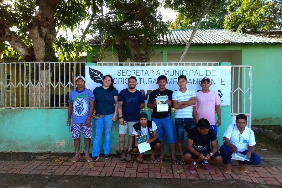
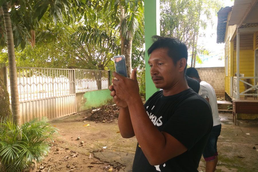
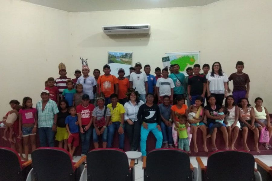
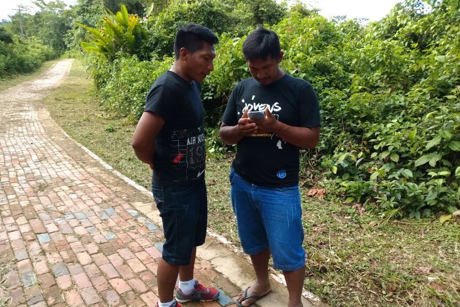
In Brazil, there are already 16 monitors chosen as representatives of their territories and an initial training in Monitoring has been carried out, as well as the development of the mobile application with which they will carry out the field monitoring.

brazil-map
brazil-map2
  • brazil-map2
  • brazil1
  • brazil3
  • brazil4
  • brazil5
  • brazil6
  • brazil7
  • brazil8
  • brazil9
  • brazil10
  • brazil11

Contact Us

IUCN SOUTH AMERICA REGIONAL OFFICE

  • Edificio Murano Plaza, piso 12
    170515 Quito, Ecuador
  • This email address is being protected from spambots. You need JavaScript enabled to view it.

SEND US A MESSAGE

© 2020 Amazonia 2.0. All rights reserved.
Web paged developed by Nido Interactive.